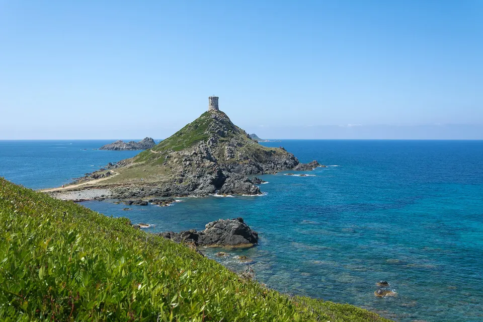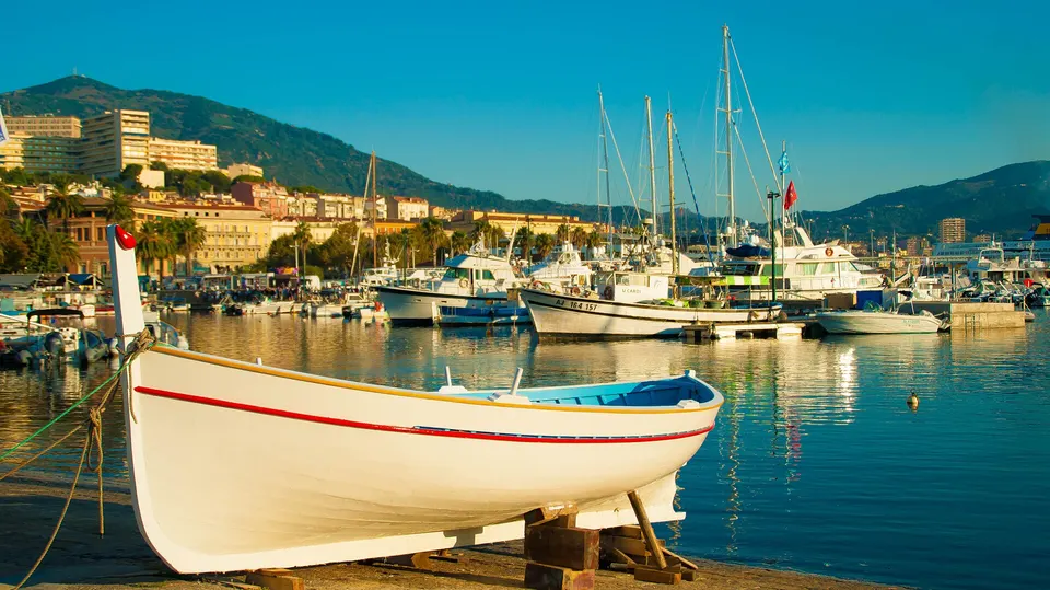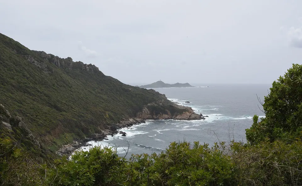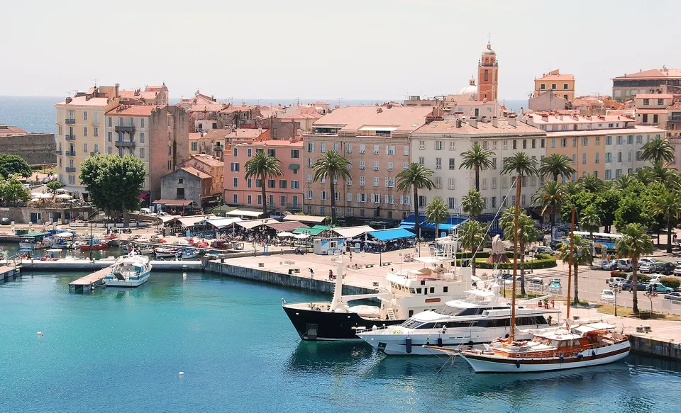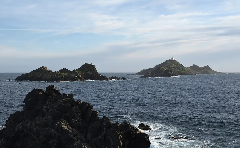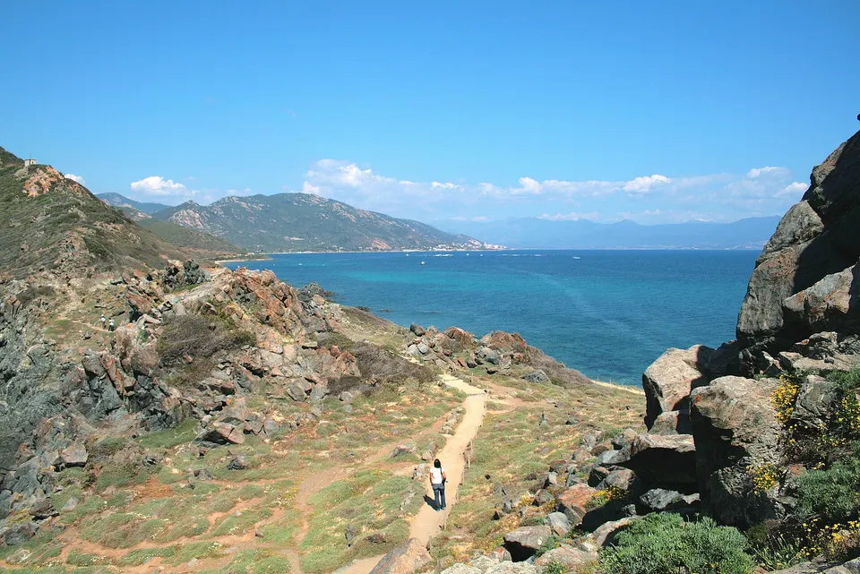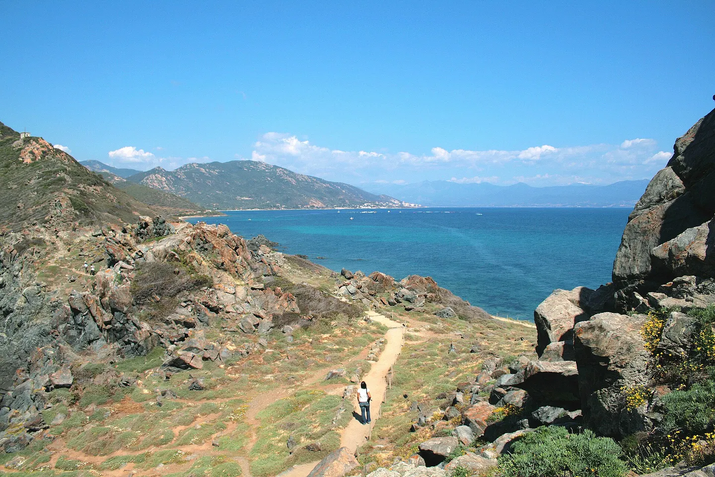
The Sanguinaires road (RD111) runs for 11 km along the north shore of the Gulf of Ajaccio, from the town centre to Parata Point. It passes the Greek chapel and Saint-François beach, then Ajaccio cemetery, where Tino Rossi is buried, and a string of beaches: Marinella, Scudo, Terre Sacrée, Week-End, all the way to La Parata. Bus line 5 serves it from Place de Gaulle. The boats to the Sanguinaires follow the same coastline.
Key facts
- 11 km from central Ajaccio to La Parata, about 20 to 25 minutes by car.
- Stops: Greek chapel, Saint-François beach, cemetery (Tino Rossi's grave).
- Beaches: Marinella, Scudo, Terre Sacrée, Week-End, then La Parata.
- Bus line 5 from Place de Gaulle to La Parata.
Stops from Ajaccio to La Parata
| Stop | What you find |
|---|---|
| Greek chapel | Notre-Dame-du-Mont-Carmel chapel, cours Lucien-Bonaparte |
| Saint-François beach | below the citadel, the closest to the centre |
| Ajaccio cemetery | beside the road, Tino Rossi’s grave; nicknamed the Sanguinaires cemetery |
| Santa Lina beaches | Marinella and its neighbours, as you leave town |
| Scudo | a north-shore beach |
| Terre Sacrée | between Macumba and Week-End beaches, end of the Crêtes trail |
| Parata Point | visitor centre, Genoese tower, view of the archipelago |
Sources: Wikipedia (Ajaccio), Nave Va, plages.tv.
The road
The RD111 is the only road in: 11 km from the centre, about 19 minutes from Place Foch according to OpenStreetMap, 25 minutes according to the Grand Site. It is lined with villas, coves and beaches, and is home to many of Ajaccio’s bars and restaurants. Bus line 5, from Place de Gaulle to La Parata, saves you having to park.
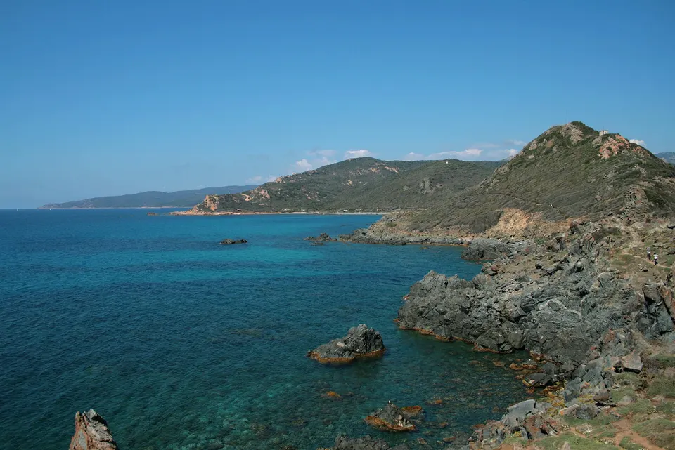
Terre Sacrée
Terre Sacrée beach is a handy starting point: it is where the Crêtes trail from Ajaccio ends, and where a 6.6 km loop to Parata Point described by Visorando begins.
Beyond La Parata
Before La Parata, the RD111b branches off towards Capo di Feno and its wilder beaches. For the beaches on the gulf’s south shore, see Porticcio.
Book a trip
Boat trips along the north shore
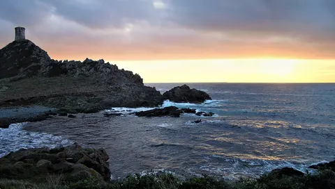 PopularMagic Sanguinaires Sunset from Ajaccio/Porticcio : Aperitif2.5 - 3 hours★ 4.8 (1646 reviews)from €50Check availability
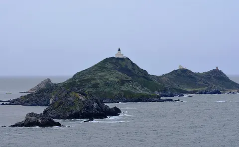 Tour of the Sanguinaires Islands : stop for a swim2 hours★ 4.7 (34 reviews)from €60Check availability
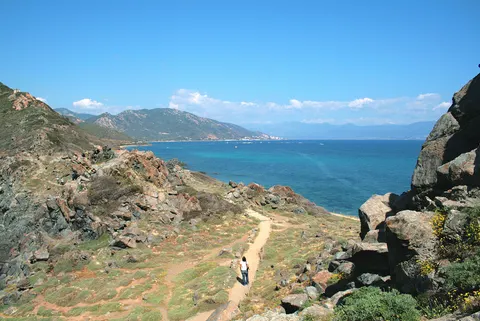 Ajaccio: Hydrofoil cruise tour with underwater bubble2 hours★ 4.5 (157 reviews)from €40Check availability
"From" prices checked on 9 November 2026 and may have changed.
Affiliate links: IlesSanguinaires.com earns a commission if you book, at no extra cost to you. "Show live prices" loads the GetYourGuide module, which sets its own cookies (learn more (in French)).
Frequently asked questions
What is the best beach on the Sanguinaires road?
Opinions vary. Terre Sacrée, between Macumba and Week-End beaches, is where the Crêtes trail ends and where a loop to La Parata described by Visorando begins.
Is the Sanguinaires road served by bus?
Yes, by line 5 of the Ajaccio area network, from Place de Gaulle to La Parata. Timetables on the Muvistrada network website.
Sources
Information checked against the sources below. Timetables and prices change: confirm before you go.
- Wikipedia (French), Ajaccio: Sanguinaires road, cemetery, Greek chapel, accessed 9 November 2026
- Grand Site of the Sanguinaires Islands, getting there: RD111, bus line 5 (in French), accessed 9 November 2026
- Plages.tv, Terre Sacrée beach: location (in French), accessed 9 November 2026
- Plages.tv, Ajaccio's beaches: list (in French), accessed 9 November 2026
- OSRM on OpenStreetMap, Ajaccio to La Parata, accessed 9 November 2026
- Nave Va, Sanguinaires trip: route along the north shore (in French), accessed 9 November 2026