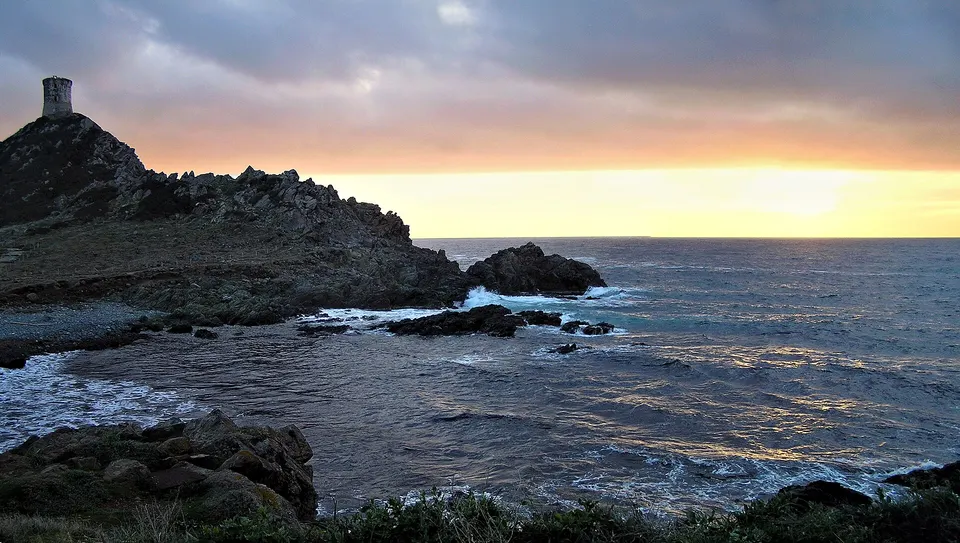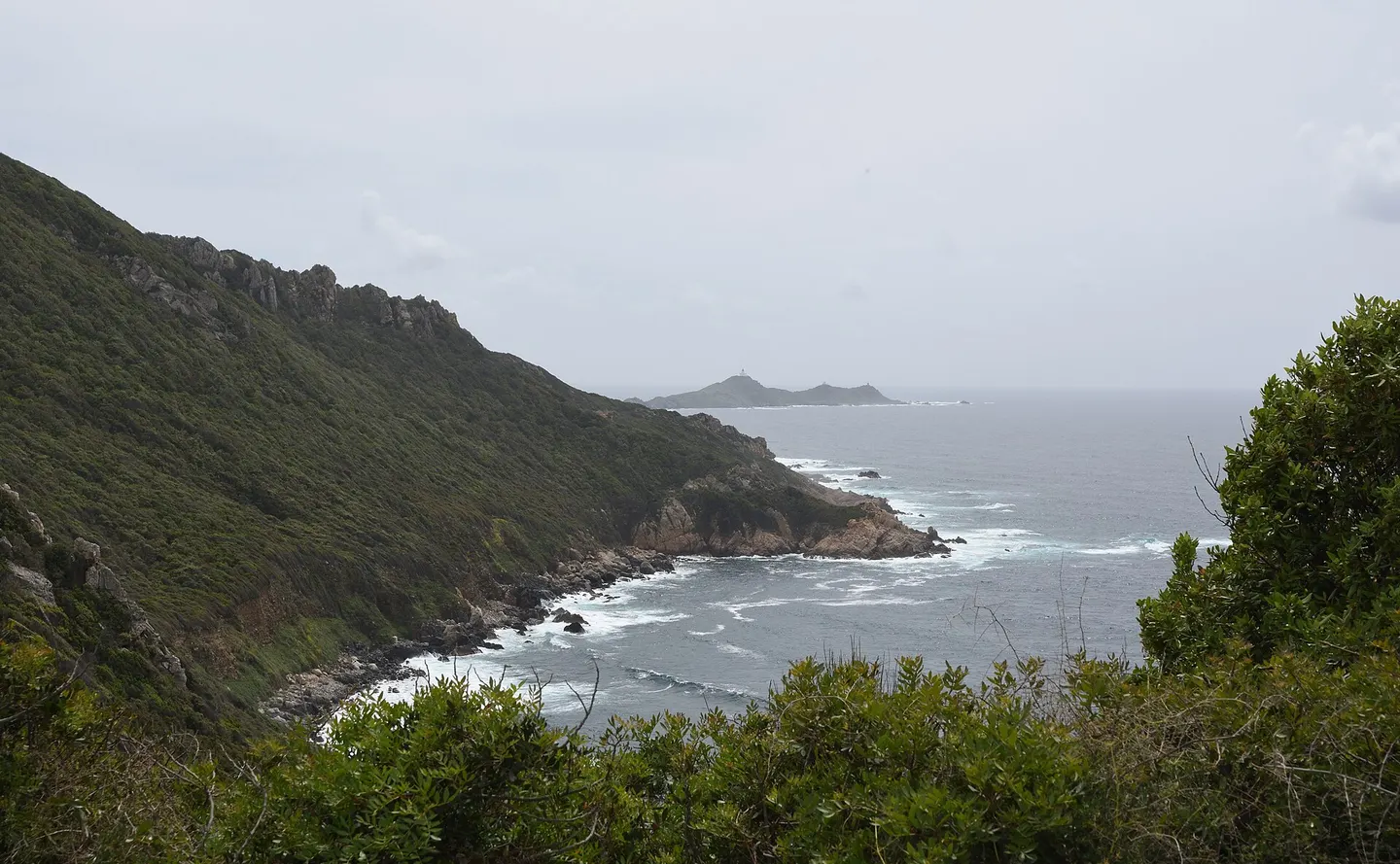
The Crêtes trail starts at Bois des Anglais, a few minutes' walk from central Ajaccio, and follows the heights above the gulf towards the Sanguinaires. The tourist office allows about 3 hours to reach Terre Sacrée beach and 2 hours for the loop via the Cupetta fountain; the Grand Site allows 4 h 30 to La Parata and rates the hike as difficult. There are no water points and little shade; avoid it in strong heat, with a fire risk from June to September.
Key facts
- Start: Bois des Anglais, a few minutes from central Ajaccio.
- Terre Sacrée: about 3 h; La Parata: about 4 h 30 (one way).
- No water, little shade: 2 litres of water, a hat, good shoes.
- Return by bus line 5 from the Sanguinaires road.
The routes
| Route | Duration | Difficulty | Source |
|---|---|---|---|
| Loop via the Cupetta fountain | about 2 h | easy to moderate | tourist office |
| Bois des Anglais to Terre Sacrée (one way) | about 3 h | easy to moderate | tourist office |
| Bois des Anglais to La Parata (one way) | about 4 h 30 | difficult | Grand Site |
| La Parata to Ajaccio via the crests | 14.9 km, about 6 h | strenuous | Visorando |
Times vary with the variant (low or high crests) and the end point.
The route
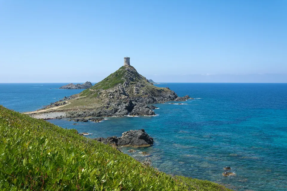
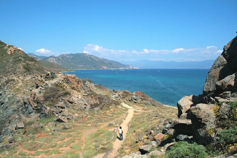
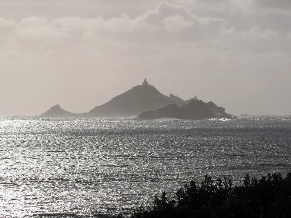
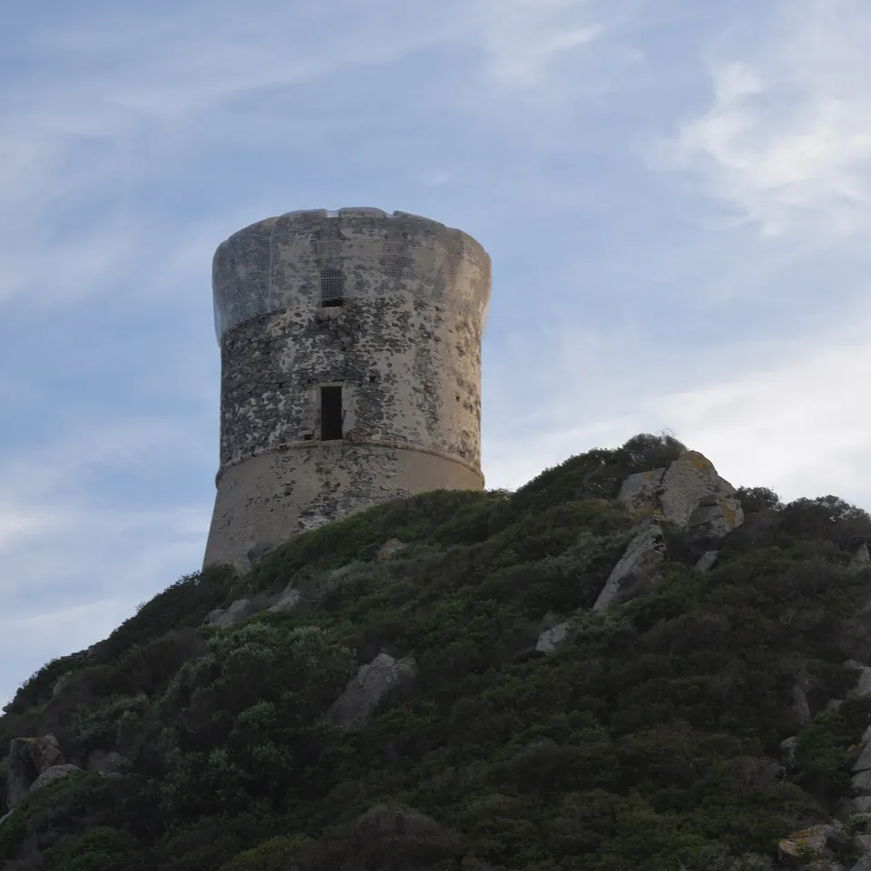
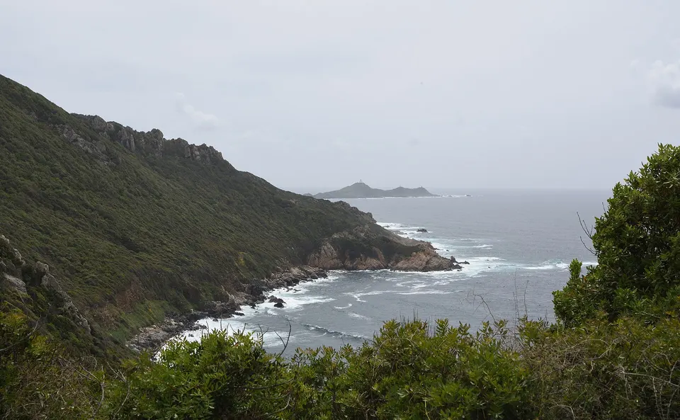
The start is at Bois des Anglais, on the heights of the town. The trail then climbs to the rocky crests above the gulf and the Sanguinaires road, through the scrub, with the sea and the islands in view. You come down either to Terre Sacrée beach, or carry on to Parata Point and its Genoese tower.
Tips
- Water: no water points on the route. Take plenty, at least 2 litres per person in hot weather (a cautious estimate).
- Heat: little shade; start early, and avoid the trail in strong heat, as the Grand Site advises.
- Fire: the tourist office warns of a risk from June to September. Check for closures of natural areas before you go.
- Shoes: rocky ground, hiking boots recommended.
- Return: bus line 5 serves the Sanguinaires road and La Parata.
At the end
At La Parata, enjoy the view of the archipelago and, late in the day, the sunset. For a shorter walk on the spot, see the scent trail at Parata Point.
Book a trip
See the archipelago from the sea after your walk
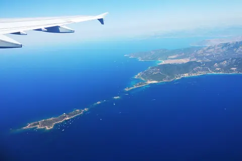 PopularFrom Ajaccio: Sanguinaires Islands Boat Trip With Aperitif2.5 hours★ 4.7 (885 reviews)from €50Check availability
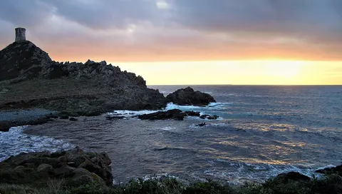 PopularMagic Sanguinaires Sunset from Ajaccio/Porticcio : Aperitif2.5 - 3 hours★ 4.8 (1646 reviews)from €50Check availability
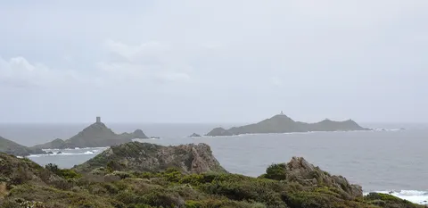 Ajaccio: Sunset at the Sanguinaires Islands3 hours★ 4.6 (163 reviews)from €52Check availability
"From" prices checked on 9 November 2026 and may have changed.
Affiliate links: IlesSanguinaires.com earns a commission if you book, at no extra cost to you. "Show live prices" loads the GetYourGuide module, which sets its own cookies (learn more (in French)).
Frequently asked questions
How long is the Crêtes trail?
About 3 hours from Bois des Anglais to Terre Sacrée according to the tourist office, 2 hours for the loop via the Cupetta fountain, and about 4 h 30 to La Parata according to the Grand Site.
Is the Crêtes trail difficult?
The tourist office rates it easy to moderate with good shoes; the Grand Site rates it difficult as far as La Parata. The ground is rocky in places and there is no water.
How do you get back to Ajaccio?
By bus line 5, which serves the Sanguinaires road and La Parata (Visorando confirms it for Terre Sacrée and the La Parata car park).
Sources
Information checked against the sources below. Timetables and prices change: confirm before you go.
- Ajaccio tourist office, the Crêtes trail, accessed 9 November 2026
- Grand Site of the Sanguinaires Islands, walks: Crêtes trail, 4 h 30 (in French), accessed 9 November 2026
- Grand Site, getting there: 4 h 30 from Bois des Anglais (in French), accessed 9 November 2026
- Visorando, La Parata to Ajaccio via the Crêtes trail, accessed 9 November 2026
- Visorando, Terre Sacrée beach and Parata Point: bus line 5, accessed 9 November 2026